
San Benito Neighbors Block Sources
Public records around a San Benito block describe parcels, recorded owners, land-use context, public case dates, and organization contacts. They do not create a roster of people at every address. Start by deciding what fact is needed. A map answers where parcels meet. CAD connects a selected parcel with account and mailing context. A deed can explain a recorded transfer. City Planning maps describe the jurisdiction around the block. Public community listings offer organization contacts, not private participation details.
| Source | What It Shows About a Block | Access |
|---|---|---|
| CAD Map Search | Parcel polygons, map position, and adjacent parcels | Public map; exact layer and export controls were not fully captured |
| CAD Property Search | Parcel account, recorded-owner, situs, and mailing context | Owner, address, PID, or GEO ID search |
| Historic deed index | Recorded transfer trail and legal-description context | 1830-1968 online index; Clerk fallback for needed records |
| City Planning maps | Zoning, flood, annexation, land use, city limits, and ETJ | Public Planning map resources |
| County CivicAccess | Address or case inspection dates and public status context | Address, case, or type search where a record is public |
| City Resource Directory | Public civic and congregational organization contacts | Category, name, and A-Z search; not membership data |
Keep the terms exact. A recorded owner may differ from the recipient of tax mail, and either may differ from a current occupant. A parcel map does not establish a social relationship. Those distinctions keep a San Benito neighbors search grounded in what the source actually displays.
Map San Benito Neighbors by Parcel
The Cameron block method is parcel-based. Search the target address or PID, zoom to the parcel, and zoom out by one street segment. Select adjacent polygons one at a time. The county CivicAccess guide documents partial-address search, autocomplete, map context, parcel zoom, and draw, reshape, transform, and delete tools. The exact CAD map’s selection and export behavior was not exposed in static inspection, so treat shape tools as a way to define a research area, not as proof of an exhaustive neighbor list.
- Locate the target in Cameron CAD Map Search by address, PID, or GEO ID.
- Zoom out one segment and select the parcels that directly touch or face the target parcel.
- Open each CAD account and note its PID, legal description, situs, recorded owner, mailing field, and source date.
- Use the legal description in the Clerk index when a transfer or plat is needed to confirm the parcel relationship.
- Stop at the block boundary chosen at the outset; do not expand a parcel review into a list of private residents.
The flow is address → target parcel → adjacent parcels → CAD account details → deed or plat confirmation. For a full named-street record trail rather than an immediate block review, use the San Benito street directory.
San Benito Neighbors Map Context
Parcel lines are only one part of a San Benito block. City Planning provides zoning, annexation, land-use, city-limit, ETJ, flood, and future-land-use maps. County GIS and Transportation adds roads, developments, subdivisions, and map-printing context. These maps help distinguish a municipal block from an unincorporated or nearby postal area before any record comparison begins.
A situs address may not match a tax mailing field. A legal description or lot and block can be more durable than a street label when maps, deeds, and historical records need to be compared. This is especially useful in the Resaca City landscape, where parcels, subdivisions, jurisdiction boundaries, and postal labels can describe the same vicinity differently.
San Benito has a distinct records geography. CAD is based on Amistad Drive, while County GIS and Transportation and the County Clerk’s San Benito branch are at or near W Expressway 83. District-court and Elections counters are in Brownsville. The office that has a map or appraisal account may therefore be different from the office that holds a court case or voter certificate. Match the request to the record keeper before making a trip or sending a public-information request.
Cameron CAD’s open-records page describes the documented paths for obtaining property records when the online account view is not enough.
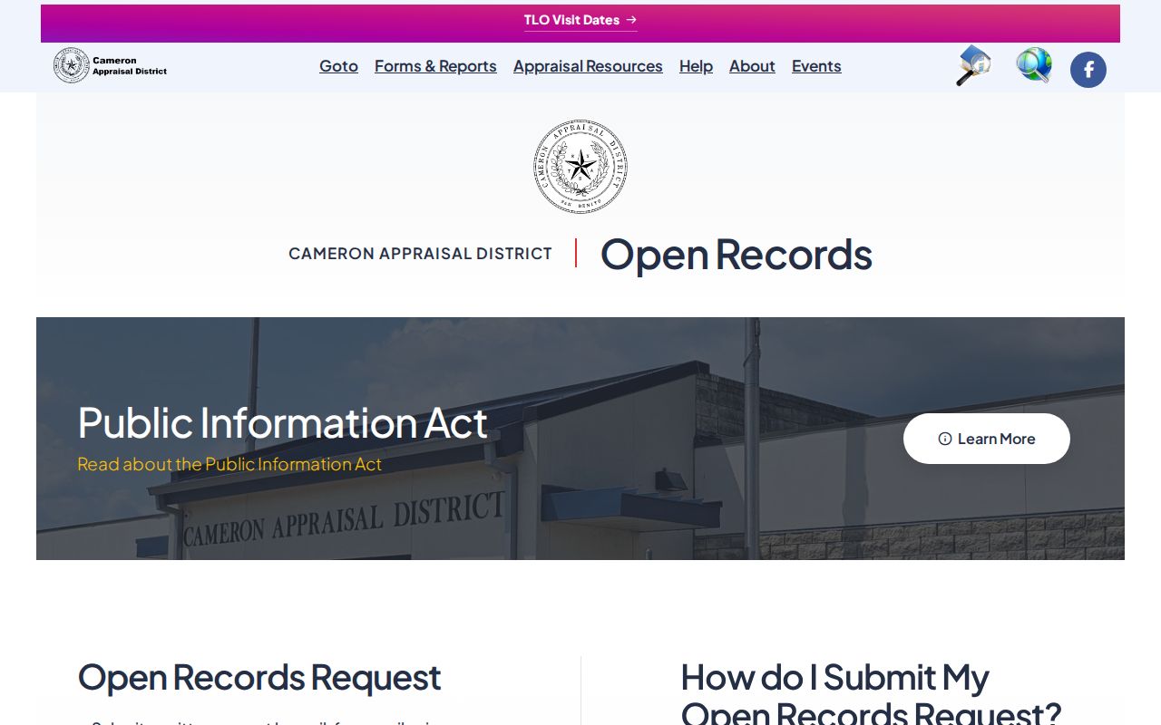
A focused request should identify the owner, physical address, legal description, or map sought, rather than asking for a broad list of people.
San Benito Neighbors Voter Limits
Texas MVP is a person-first tool, not a public block map. It uses first name, last name, date of birth, and county, or certain identification combinations. A lawful voter-file request can include residence address, precinct, VUID, status, and participation fields, but the inspected request form did not provide a current fee, delivery format, or turnaround. Confirm those details with the Secretary of State or Cameron County Elections before making a request.
Texas Election Code §§13.004 and 18.005 protect Social Security, driver-license, and DPS identification data as well as certain protected-voter information. A voter registration record is not a present-location guarantee. It must never be used to work around a substitute address or protection.
San Benito Neighbors Community Contacts
San Benito’s city resource directory is the verified public contact layer for a block. It allows category, name, and A-Z searching and lists 22 public organizations, including congregational and civic contacts. The listing is useful when someone needs an organization’s public point of contact or wants historical context for an area. It does not identify attendees, members, or people connected with an address.
The Historical Society offers a different kind of public lead. Its research center holds people files, business directories, tax rolls, yearbooks, newspapers, maps, and photographs. Remote research requests should give names, dates, relationships, and previous search attempts. Its stated research rates are $10 an hour for members and $15 an hour for nonmembers, with a 2–3 month remote backlog. Those holdings can document a block’s past, but they do not turn historic mentions into a roster of current neighbors.
| City Resource Directory | Public organization and congregation listings; use category, name, or alphabet search. |
|---|---|
| City Planning and GIS | Boundary and land-use context only; no association roster was located. |
| Historical Society | People files, newspapers, yearbooks, maps, and organization history through research request. |
| HOA or neighborhood directory | No official HOA directory or published member roster was located in city or county sources. |
The San Benito city resource directory is the appropriate source for public organization contacts.
Use the contact details an organization publishes for itself, and do not infer private participation from a listing or a historical mention.
San Benito Neighbors Source Comparison
Official sources and compiled neighbor products answer different questions. The official record is closest to the agency that created or holds it, even when it has a narrow scope or requires a request. Commercial compiled products can blend older parcel data, directories, marketing data, and public filings. They can retain stale addresses, omit protected people, or join records belonging to different people with the same name.
| Official sources | Commercial compiled products |
|---|---|
| CAD, Clerk, Planning, Elections, and public organization pages identify their custodian and record scope. | May combine sources with different dates and unclear update paths. |
| Parcel, court, voter, and organization facts remain limited by each source’s access rules. | May suggest a connection without showing the underlying official record. |
| Errors can be directed to the keeper of the record using a PID, cause number, or document reference. | Accuracy and correction methods vary by product and do not replace custodian verification. |
San Benito Neighbors Historical Clues
For an older block, the Historical Society is a stronger lead than a current parcel map. Its holdings include people files, obituaries, tax rolls, business directories, yearbooks, cemetery records, newspapers, maps, diaries, and photos. The digitized San Benito Light adds 1914-1925 OCR and page images. The regional Rio Grande Valley Telephone Directory has listed issues from 1945 through 2005, but issue images and the relevant section still need confirmation.
Historical evidence should be tied back to a parcel or legal description whenever possible. A newspaper reference, directory line, or cemetery entry can suggest a time period, but it is not proof of a current connection to the block. Note: Historical sources are most useful for dates and context, not for constructing a modern neighbor list.
San Benito Neighbors Privacy Boundaries
Private occupant information, utility customer records, delivery data, protected addresses, and organization membership are not a public block resource. Texas Address Confidentiality Program participants may use a substitute P.O. box, and the actual address must not be exposed or reverse-engineered. Public Information Act access also does not override confidentiality statutes. A deed, CAD account, directory line, or voter entry should be labeled by what it is, not treated as a claim about a person’s current location.
For a genuine records error, contact the custodian with the relevant parcel PID, legal description, or document number. Use city or county public-information channels for public land or case information that is not online. Do not seek protected data through a wider request after a narrower search fails.
Lawful use. Use San Benito neighbors research for legitimate personal or civic purposes. Texas Penal Code §§42.072 and 42.07 address stalking and harassment; do not use public records to monitor, threaten, contact, or expose another person.